
Writing The War of 1812 for Osprey’s Essential Histories series was a pleasure. First, the staff was professional, understanding, and efficient. Second, as an academic historian, I was pleased to be able to share my research and thoughts on the conflict with a broader audience than I normally reach. Third, the format of the Essential Histories series provided opportunities for illustrating and mapping the war that rarely occur in texts published by university presses.
The main challenge for me in the Essential Histories series centred on writing a book that was both complete and concise, because the format required that the conflict be covered in less than 30,000 words (in contrast to my last academic book, at 130,000 words). Intensifying the challenge was my concern to ensure that overlooked events received the attention they deserved, such as the important fighting along the upper Mississippi River, which often receives little or no coverage in contrast to the struggles that occurred on the Canadian border, the American saltwater coasts, and the world’s oceans. Another challenge focused on incorporating the story of the Indigenous peoples of North American at a level appropriate to their place in the war, in contrast to many texts that treat them almost as pawns of the British and Americans or that tell the story of the famous Shawnee leader, Tecumseh, in ways that incorrectly imply his experiences may be regarded as representative of First Nations involvement in the war as a whole. Beyond these concerns, I wanted to produce a text that would be enjoyable and accessible. I think I met the challenge, in that anyone reading the book will come away with a good appreciation of the most important aspects of the conflict and an understanding of its place in the larger history of North America.
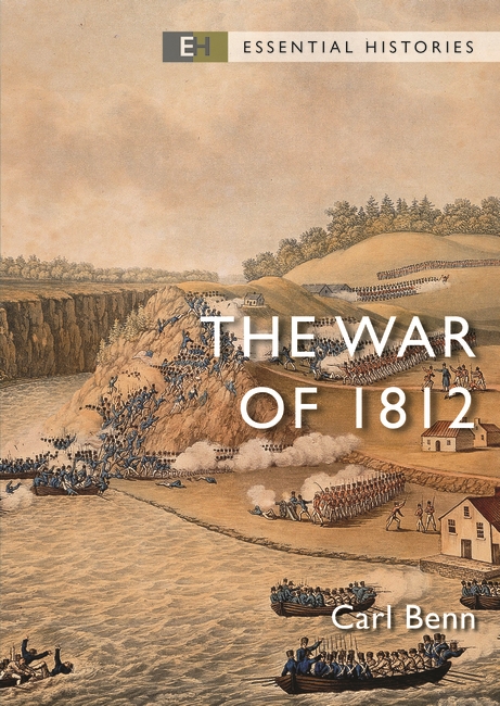
Part of the pleasure in writing for Osprey was selecting images. There are 57 colour pictures in the 2024 edition, which is a lot compared to my academic texts. I included modern photos of places associated with the war that people might like to visit today, a selection of interesting artefacts, and a large number of period images. In terms of the latter, I chose illustrations carefully, avoiding later artists’ (mis)conceptions, such as dreary Victorian-era prints about the war that have little or no documentary value and do not speak to the period of the conflict. I also worked hard to find images that were not well known, and, of course, I chose pictures to help evoke the details and textures of the period in readers’ minds. Osprey had a modest budget for acquiring images, but I was able to extend its value by drawing upon oil paintings, watercolours, and prints from institutions that allow publishers to download high-quality copies without charge, with the McCord-Stewart Museum in Montreal and the museums of the Smithsonian Institution in Washington being representative of them. Their generosity was important: publishers and authors work with limited funding, which often prevents them from including publicly owned art in books when they have to pay licensing fees, thus depriving readers of access to aspects of their history.
Another great thing about working with Osprey lay in developing the maps. They are in colour, which meant that more information could be included with greater clarity than would be possible with standard black-and-white cartography. There are seven such maps in the book, covering all of the war’s theatres. My favourite explores the conflict along the eastern seaboard of the United States. Through the excellence of Osprey’s mapmakers and their use of colour, I could show, for instance, how the Royal Navy’s blockade of the United States expanded to cover more and more of the coast as Britain sent warships to the western Atlantic through the course of the struggle (from less than 30 in 1812 to over 120 by 1814). I also was able to indicate which side enjoyed success on land by using red dots for the British and blue for the Americans. A question, however, was: which battles should I include and which should I leave out? Fortunately, the US National Parks Service produced a list of War of 1812 land battles, engagements, and skirmishes, and then classified them into four levels of importance. I included all that fell into the top three levels of importance, but none of those in the lowest. This meant that the map is not overly busy, and that skirmishes of little importance do not appear at the same level as significant events, such as the capture of Washington or the defence of Baltimore. (One reader, however, emailed me to complain that his favourite encounter was missing, but, alas, it was a Category Four event according to the NPS.)
Finally, The War of 1812 published in 2024 is the second edition of the book. The first came out in 2004. I very much appreciated the opportunity to rewrite the text extensively because the historiography of the war has changed significantly over the last 20 years, as have my thoughts on the conflict, while evolving interests about inclusive history have demanded that previously under-appreciated aspects of the past must be acknowledged and explored.
Now that the new edition has been released, and can be acquired easily through both physical and online bookstores, I hope readers will enjoy the work and gain a better understanding of the War of 1812 than they had before, whether they already possess considerable expertise on the subject, or just have begun their exploration of that formative conflict in the history of North America.
--
Dr Carl Benn is a history professor at Toronto Metropolitan University. His other books include Historic Fort York, 1793-1993; The Iroquois in the War of 1812; Mohawks on the Nile: Natives among the Canadian Voyageurs in Egypt, 1884–1885; Native Memoirs from the War of 1812: Black Hawk and William Apess; and A Mohawk Memoir from the War of 1812: John Norton – Teyoninhokarawen.
The War of 1812 can be purchased here.

Comments
You must be logged in to comment on this post. Click here to log in.
Submit your comment