You must sign in to add this item to your wishlist. Please sign in or create an account
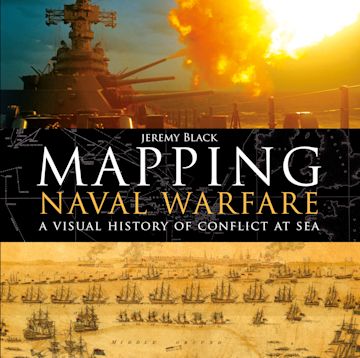
A visually stunning account of how naval conflict was recorded and planned, using contemporary mapping.
Naval operations and warfare were, and remain, a key element for mapping. Maps were vital for commanders in drawing up plans of attack, and their detail and usefulness have increased over the centuries as the science of mapping has developed.
This beautiful book examines stunning original maps from a series of key conflicts from the Spanish Armada, the American Wars of Independence, and the Napoleonic wars to twentieth century conflicts from the First World War to Vietnam, and explains how they were represented through mapping and how the maps produced helped naval commanders to plan their strategy.
| Published | Feb 22 2018 |
|---|---|
| Format | Ebook (PDF) |
| Edition | 1st |
| Extent | 192 |
| ISBN | 9781472831385 |
| Imprint | Osprey Publishing |
| Series | General Military |
| Short code | GNM |
| Publisher | Bloomsbury Publishing |

Tell us what titles you would like to see published by Osprey, then vote for your favourites in our monthly book vote!
Your School account is not valid for the Canada site. You have been logged out of your account.
You are on the Canada site. Would you like to go to the United States site?
Error message.

